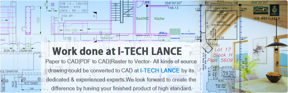
Services We Provided
Quality Assurance
It costs a lot to produce a bad product.
Quality assurance is more than just manual testing. Today’s systems are more..
Quality assurance is more than just manual testing. Today’s systems are more..

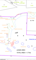
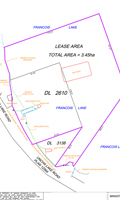
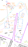
| Topographic Mapping | |||||||||||
|
|||||||||||